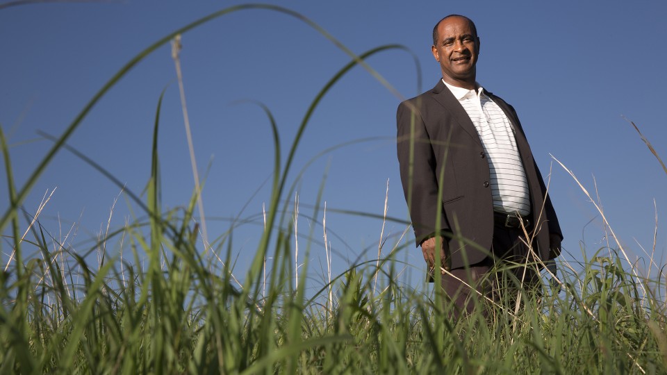
 Tsegaye Tadesse, a climatologist and remote sensing expert with the National Drought Mitigation Center, recently returned from a workshop in Ethiopia that centered around space science development. There, he spoke about how data from a soon-to-be-launched satellite will help Ethiopia better prepare for drought. Craig Chandler, University Communication
In late 2018, Ethiopian officials announced that it would join a growing number of African countries that have launched satellites of their own in an effort to further ramp up space science development across much of the continent.
The $8 million observatory satellite will collect climate data after its expected September launch. Ethiopia is investing $2 million in the project while China will fund $6 million of the satellite’s costs, as well as training and launch expenses.
National Drought Mitigation Center climatologist and remote sensing expert Tsegaye Tadesse said he sees the investment as a pivotal one.
“We are investing in the long-term,” said Tadesse, a research professor at the University of Nebraska-Lincoln. “Down the road, the next generation will lead a better life. And therefore we have to help investing into the future as much as possible.”
In February, Tadesse participated in the first African Initiative for Planetary and Space Science (AFIPS) workshop, where researchers and leaders gathered to discuss the cultural, economic and societal impacts of space science development in Ethiopia and other African nations. Hosted by the Ethiopian Space Science and Technology Institute, the event brought together many on the forefront of African space science development to share knowledge about building space programs and to discuss the challenges associated with them.
Tadesse, a featured panelist at the University of Nebraska’s Africa Summit on March 28, has for years helped spearhead drought preparation efforts throughout Africa as scientific evidence points to more frequent and longer lasting droughts occurring in the Greater Horn of Africa due to climate change. In recent years, several African countries have invested in space science programs to address complex socioeconomic issues, with the changing climate chief among them. Nigeria, Kenya, Egypt and South Africa are among the countries that invested in satellite development prior to Ethiopia’s late 2018 announcement.
At the AFIPS conference, remote sensing was one of five key topics, and Tadesse is a renowned proponent of its benefits and a longtime contributor to the body of research that utilizes satellite data. He recently collaborated on a project that created a combined drought indicator for Ethiopia (CDI-E) from four input variables measuring precipitation, land surface temperature, soil moisture and hydrologic conditions to characterize agricultural drought in the country. Tadesse said that the Ethiopian government’s investment in satellite technology can help the country retain some of its top scientific talent, which is why he is optimistic about the country’s path forward.
In a news release issued when the satellite development was announced last year, Solomon Belay Tessema with the Ethiopian Space Science and Technology Institute at Addis Ababa University said the satellite will be used to collect data on water, agriculture, climate change and environmental protection.
“Our main goals by launching this first satellite are two,” said Tessema, senior scientist and director general of the institute. “The first one is build technology application capacity and skills of our engineers through collaborations with different countries’ space scientists and institutions. So that they will be in a position to design, build and launch the second satellite independently. The second one is the direct support the first satellite gives to the social and economic development in terms of saving the money the country is currently spending for buying data, such as climate data.”
When historic drought plagued the country in 2015-2016, food security for millions of Ethiopians reached crisis levels. In a country where about a quarter of the population lives in poverty, and 80 percent of the 108 million people live in rural or agrarian areas, Tadesse said that having satellite data could provide Ethiopian farmers with a vital tool that can help them determine the best way to deal with climate conditions. And it could also influence how the government allocates resources in dire times.
“You can give them an early warning to say that the start of the season is going to be delayed,” he said. “Farmers are very clever, and they can adapt if they know that information. They can change the time of planting, and all kinds of other things can be done. At least if they get that information, they can make their own decision. That is from the farmer’s point of view. And how about from the government point of view? Especially in developing countries, there’s no safety net. You need to be ready before that disaster happens.”
- By Cory Matteson, National Drought Mitigation Center Communications Specialist